VYMANIK AEROSPACE

Accuracy | precision | reliability

Where Engineering Meets Imagination

We deploy high-precision unmanned aerial systems (UAS) for continuous monitoring and reconnaissance. From border security to crowd management, our aerial platforms provide live video feeds, infrared imaging, and AI-powered object tracking for mission-critical awareness.

Our drones are equipped with advanced sensors and zoom cameras for inspecting power lines, transmission towers, pipelines, and industrial machinery. We deliver accurate thermal, structural, and visual inspection data  reducing risk, cost, and human intervention.

Using LiDAR, RTK-GPS, and photogrammetry, our drones produce highly detailed topographical maps and 3D models. Ideal for infrastructure planning, land assessment, mining, and agriculture.Land Surveying & Site Planning or Agricultural Health Monitoring

Map | Monitor | Manage

Vijay shekhar sharma

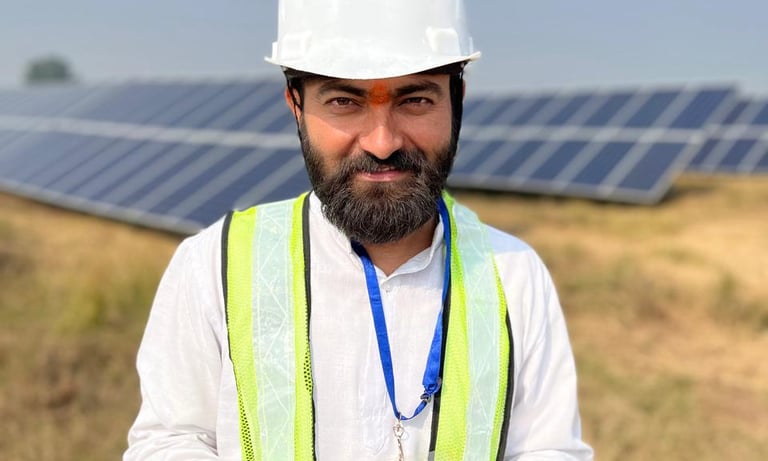
I am extremely pleased with the outstanding quality and punctuality of Vymanik Aerospace in delivering the solar park thermography report.

RATNESH

AVINASH

Efficiency and effectiveness of the crowd management achieved through Vymanik Aerospace Drones is truly remarkable.

"These are people from Vymanik Aerospace and they will take India's flight to new Hights"

Real Results . Real Voices

FOLLOW US !

Get in touch

Address

Plot No 5, Knowledge Park 2, Greater Noida, Uttar Pradesh, India, 201306.

Contacts

support@vymanikaero.com

+91 8182830960